Discovery Basin
Basin Status
Rifting Valley Back Arc
Tectonic Setting
0
Area (km2)
0
Visitor Count
0
Likes
Executive Summary
of
Pembuang Basin
Description
Version
1
Published Date
20 Jan 2023
Uploaded Date
-
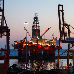
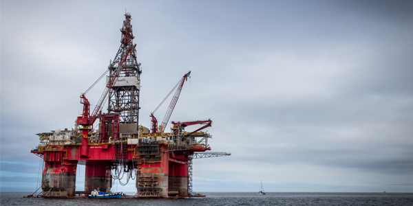
Photos
Some footage of Pembuang Basin


Introduction
Preliminary details of Pembuang Basin
The Pembuang Basin is located in Central Kalimantan Province, with a basin area of 16,982 square km. The northern part is bounded by the Swachner high, the southern part is limited by the high which separates Pembuang Basin from the Biliton Basin and the eastern part is bounded by the high which separates it from the Barito Basin.
Data based on:
20 Jan 2023
Exploration History
Detailed history of Pembuang Basin
Data based on:
20 Jan 2023
Regional Geology
Detailed regional geology of Pembuang Basin
The structure developments in the Pembuang Basin are the results of two different tectonic regimes. The first regime is the transitional regime that took place in the Early Tertiary (Paleocene - Middle Miocene), where sinistral movement produces a NW-SE trending fault structure. Second, the transpressional regime that occurred in the Middle-Late Tertiary (Middle Miocene-Plio-Pleistocene) involved lifting and reactivation of convergent and inverse movements that occurred in the previous regime, resulting in horizontal movements, faults and fold structures.
Data based on:
20 Jan 2023
Petroleum System
Detailed petroleum system of Pembuang Basin
The Pembuang Basin stratigraphy uses the analogy of the Barito Basin which has been proven as an oil and gas production. The use of the Barito Basin stratigraphy is based on the limited subsurface data in the Pembuang Basin and the adjacent location of the two basins.
Data based on:
20 Jan 2023
Resources
Detailed resources of Pembuang Basin
-
Data based on:
20 Jan 2023
Petroleum System Chart
of
Pembuang Basin
Description
Version
1
Published Date
20 Jun 2023
Uploaded Date
20 Jun 2023
Petroleum System Chart
Petroleum system chart to Pembuang Basin
Montage
of
Pembuang Basin
Description
Version
1
Published Date
09 Aug 2022
Uploaded Date
15 Jun 2023
Montage
Detailed montage of Pembuang Basin
Reports & Publications
of
Pembuang Basin
Description
Version
1
Published Date
-
Uploaded Date
20 Jul 2023
Reports & Publications PDF
The PDF displayed is only pages 1 to 20. For a complete PDF, you can download it by clicking the download button.
Archives of Report & Publication
| Date | Report Description | Version | Doc | |
| 01 Dec 2021 | Rekomendasi Wilayah Keprospekan Migas Pembuang | 1 | Download PDF |
| Date | Publication Description | Version | Doc | |
| Oct 02, 2022 | Jurnal Cekungan Pembuang Tahun 2022 | 1.0 | Download | |
| Oct 04, 2021 | Jurnal Cekungan Pembuang Tahun 2021 | 2.0 | Download | |
| Oct 01, 2020 | Jurnal Cekungan Pembuang Tahun 2020 | 1.0 | Download | |
| Oct 09, 2019 | Jurnal Cekungan Pembuang Tahun 2019 | 1.0 | Download | |
| Oct 01, 2018 | Jurnal Cekungan Pembuang Tahun 2018 | 2.0 | Download | |
| Oct 07, 2017 | Jurnal Cekungan Pembuang Tahun 2017 | 2.0 | Download | |
| Oct 09, 2016 | Jurnal Cekungan Pembuang Tahun 2016 | 1.0 | Download | |
| Oct 09, 2015 | Jurnal Cekungan Pembuang Tahun 2015 | 2.0 | Download | |
| Oct 06, 2014 | Jurnal Cekungan Pembuang Tahun 2014 | 2.0 | Download | |
| Oct 04, 2013 | Jurnal Cekungan Pembuang Tahun 2013 | 1.0 | Download | |
| Oct 05, 2012 | Jurnal Cekungan Pembuang Tahun 2012 | 2.0 | Download |