Producing Basin
Basin Status
Rifting Valley Foreland
Tectonic Setting
0
Area (km2)
0
Visitor Count
0
Likes
Executive Summary
of
Barito Basin
Description
Version
1
Published Date
20 Jan 2023
Uploaded Date
-
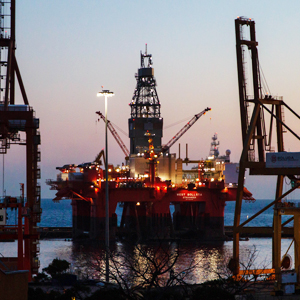
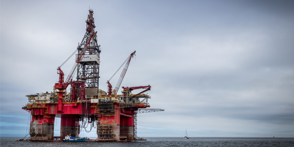
Photos
Some footage of Barito Basin


Introduction
Preliminary details of Barito Basin
The Barito Basin is the oldest carbon basin in Kalimantan with an area of around 70,000 square km and classified as a mature basin.
Data based on:
20 Jan 2023
Exploration History
Detailed history of Barito Basin
It is located in South Kalimantan and until 2000s more than 80 wells had been drilled for exploration and delineation by NKPM, BPM, SHELL, PERTAMINA, CONOCO, PEXAMIN, PHILLIPS, TREND ENERGY, AMOCO, TRIDENT, and PERMIN TRACER. The drilling activity resulted in one large field (Tanjung production), five small fields (Kambitin-Bagok-closed, South Warukin-production, Warukin Tengah-production, Tapian Timur-production and South Dahor-closed), and one structural discovery in the Tanta well that have been produced (Surantoko et al, 2000).
Data based on:
20 Jan 2023
Regional Geology
Detailed regional geology of Barito Basin
The stratigraphic of the Barito Basin are based on unconformity boundaries, namely The Cape Formation is divided into Upper Cape and Lower Cape in the Middle Eocene, The Berai Formation is generally divided into Upper Berai, Middle Berai and Lower Berai, The Warukin Formation is divided into Lower Warukin and Upper Warukin, and Pliocene formations.
Data based on:
20 Jan 2023
Petroleum System
Detailed petroleum system of Barito Basin
The proven source rock in the Barito Basin originates from the Tanjung and Warukin Formations. Bedrock formation in the Barito Basin started emitting carbon at 9 ma. The potential volume of carbon content that can fill traps in the Barito Basin reaches 1656.36 MMBO. Hydrocarbons migrate vertically through fault channels and laterally through reservoir layers. The reservoir rock-bearing formations are the Lower Tanjung Formation, the Lower Berai Formation and the Warukin Formation. Based on test data, the reserve cut-off value of the Lower Tanjung Formation is PHIE more than 11 percent, Vsh less than 43%, the Berai Formation PHIE more than 5 percent, Vsh less than 35 percent and the Warukin Formation Phie more than 12.5 percent with Vsh less than 45 percent. Petrophysical characteristics taken into in this study include the Lower Tanjung Formation reservoir thickness of 69.5 - 104 feet and effective porosity of 14.2 - 16 percent, in the Berai Formation the thickness of the reservoir is around 21.5 - 423.5 feet while the effective porosity is 3 - 16.9 percent, Lower Warukin Formation, reservoir thickness 13 feet - 466.5 feet with an effective porosity of 17.2-25.8 percent. There are three candidate seals in the Barito Basin such as the Upper Tanjung Formation, the Upper Berai Formation and the Upper Warukin Formation. Two types of traps are in the basin are anticline and stratigraphic traps. Based on the analysis, the success of exploration wells in the Barito Basin is associated with two geological factors are structural (fault zones) and stratigraphic traps (coral limestone). For the fault zone around the Meratus Mountains while those far from that place using stratigraphic traps.
Data based on:
20 Jan 2023
Resources
Detailed resources of Barito Basin
-
Data based on:
20 Jan 2023
Petroleum System Chart
of
Barito Basin
Description
Version
1
Published Date
20 Jun 2023
Uploaded Date
20 Jun 2023
Petroleum System Chart
Petroleum system chart to Barito Basin
Montage
of
Barito Basin
Description
Version
-
Published Date
-
Uploaded Date
-
Montage
Detailed montage of Barito Basin
Reports & Publications
of
Barito Basin
Description
Version
-
Published Date
-
Uploaded Date
-
Reports & Publications PDF
Detailed reports & publications of Barito Basin
Archives of Report & Publication
| Date | Report Description | Version | Doc | |
| - | No Data | - | - | - |
| Date | Publication Description | Version | Doc | |
| Oct 07, 2022 | Jurnal Cekungan Barito Tahun 2022 | 1.0 | Download | |
| Oct 08, 2021 | Jurnal Cekungan Barito Tahun 2021 | 1.0 | Download | |
| Oct 06, 2020 | Jurnal Cekungan Barito Tahun 2020 | 1.0 | Download | |
| Oct 02, 2019 | Jurnal Cekungan Barito Tahun 2019 | 2.0 | Download | |
| Oct 01, 2018 | Jurnal Cekungan Barito Tahun 2018 | 2.0 | Download | |
| Oct 04, 2017 | Jurnal Cekungan Barito Tahun 2017 | 2.0 | Download | |
| Oct 08, 2016 | Jurnal Cekungan Barito Tahun 2016 | 2.0 | Download | |
| Oct 09, 2015 | Jurnal Cekungan Barito Tahun 2015 | 1.0 | Download | |
| Oct 07, 2014 | Jurnal Cekungan Barito Tahun 2014 | 1.0 | Download | |
| Oct 07, 2013 | Jurnal Cekungan Barito Tahun 2013 | 1.0 | Download | |
| Oct 06, 2012 | Jurnal Cekungan Barito Tahun 2012 | 2.0 | Download |