Basin with Geology and Geophysics Data
Basin Status
Fore Arc
Tectonic Setting
0
Area (km2)
0
Visitor Count
0
Likes
Executive Summary
of
Sawu Basin
Description
Version
1
Published Date
20 Jan 2023
Uploaded Date
-
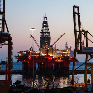
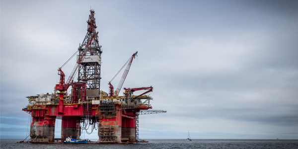
Photos
Some footage of Sawu Basin


Introduction
Preliminary details of Sawu Basin
Data based on:
20 Jan 2023
Exploration History
Detailed history of Sawu Basin
Data based on:
20 Jan 2023
Regional Geology
Detailed regional geology of Sawu Basin
The Sawu Basin is part of the non-volcanic outer arc as an extension of Timor Island to the west. The geological conditions on the two islands are similar to Timor Island. To the northwest of Sabu Island, there is Sumba Island, whose conditions are different, because it is a transition between tectonic collision and subduction. To the north of the island of Timor, Rote, Sabu and Sumba extend to the west-east of the islands of Sumbawa, Flores, Alor and others which are the Sunda – Banda volcanic arc. The Banda arc is bounded by a backarc thrust fault with the Banda oceanic crust to the north. Whereas in the south, the part of Sumba Island to the west, is in the form of oceanic crust. But in the eastern part of Sumba Island in the form of the Australian continental crust. The non-volcanic outer arc boundary with the Indonesian Ocean Crust is the Java Trench, while the boundary with the Australian Continental Crust is the Timor Trough. Tectonically, Sawu Island is very interesting because it is in front of the Sunda-Banda volcanic arc and on the edge of the Eurasian Continent, and is on the boundary of the Indian Ocean plate subduction changes that occur along the Java Trench in the west, with collision between the Australian Continental boundary and the Banda Arc on the eastern part (Chamalaun et al, 1982, Audley-Charles, 1985, McCaffey, 1988, Rigg and Hall, 2011). Research on outcrops on Sawu Island has been carried out (Rosidi et al, 1979, Audley-Charles, 1988, Rosidi et al, 1996, Harris et al, 2009, Roosmawati and Harris, 2009, Santi, 2014), but there are significant differences among authors in describing sedimentary rocks and their ages. The lack of detailed observational data on sedimentology and rock age determination results in a lack of a through understanding of Sawu Island (Harris et al, 2009). Tectonically, Sawu Island is interesting because it is in front of the Sunda-Banda volcanic arc on the edge of the Eurasian Continent, and is on the boundary of the Indian Ocean plate subduction changes that occur along the Java Trench in the west, with collision between the Australian Continental boundary and the Banda Arc in the east (Chamalaun et al., 1982, Audley-Charles, 1985, McCaffey, 1988, Rigg and Hall, 2011). Based on the geological research on Sawu Island conducted by Harris et al (2009), Sawu Island is divided into five rock formations, The Triassic Babulu Formation, The Jurassic Wailuli Formation, The Cretaceous Nakfunu Formation, Bobonaro complex, and the Neogene Viqueque Group. After interpreting the horizon and structure, the next step is to make a subsurface (time surface) map of the existing horizon. The maps made include Top Tertiary, Base Tertiary and the thickness of the Top Tertiary. The next step is to integrate regional data, surface data and gravity data to find out more about the geological structure in the investigation area. The time and depth structure maps were generated from the interpretation of horizons and structures (faults) that developed in the Sawu - Rote Area. The time to depth conversion is made by combining all checkshot data in the work area, then the configuration of the mathematical equation relationship is obtained, and finally a model is created in the form of a depth map. This structure and depth map is made based on the horizon whose respective interpretation is based on lithostratigraphy. Correlation of wells trending relatively West – East was carried out on six wells around the study area, namely Savu-1, Banli-1, Mina-1, Belalang-1, Manta-1, and Napoleon-1. Based on the chronostratigraphic data for each well, the rock formations from old to young which are generally penetrated by the six wells consist of Pre-Tertiary and Tertiary rock intervals. Pre-Tertiary rock intervals are divided into Perem, Triassic, Jurassic and Cretaceous age intervals. The deepest well is Napoleon-1 which penetrates the Perem-aged rock interval. Meanwhile, the shallowest well is Savu-1 which only penetrates the Quaternary and Tertiary rock intervals. Petrophysical analysis of the six wells was generally carried out at Pre-Tertiary rock intervals.
Data based on:
20 Jan 2023
Petroleum System
Detailed petroleum system of Sawu Basin
In Sawu Island there are gas seeps as one of the indicators that the petroleum system is running. The potential source rocks are shales from the Triassic Babulu Formation and the Jurassic-aged claystones of the Wailuli Formation and the Jura-aged claystone intercalating with the Pedarro Formation. The potential reservoir rocks are the sandstones of the Triassic-aged Babulu Formation, the Jurassic-aged sandstones of the Pedarro Formation and the sandstones of the Wailuli Formation. Based on the investigation that has been carried out, two main areas have been determined as interesting plays to be followed up at the advanced exploration stage. Play 1 is located in the northeast of Sabu Island, to the northwest of the Timor Trough and as the Mesozoic Play, the trapping of oil and natural gas in Jurassic rocks in imbricated structures. Play 2 is located more southeast than Play 1 and passes through the Timor Trough also consists of Mesosoic Play and Paleozoic Play imbricated structures with stratigraphic traps.
Data based on:
20 Jan 2023
Resources
Detailed resources of Sawu Basin
-
Data based on:
20 Jan 2023
Petroleum System Chart
of
Sawu Basin
Description
Version
-
Published Date
-
Uploaded Date
-
Petroleum System Chart
Petroleum system chart to Sawu Basin
Montage
of
Sawu Basin
Description
Version
1
Published Date
13 Jun 2023
Uploaded Date
13 Jun 2023
Montage
Detailed montage of Sawu Basin
Reports & Publications
of
Sawu Basin
Description
Version
1
Published Date
-
Uploaded Date
20 Jul 2023
Reports & Publications PDF
The PDF displayed is only pages 1 to 20. For a complete PDF, you can download it by clicking the download button.
Archives of Report & Publication
| Date | Report Description | Version | Doc | |
| 01 Dec 2021 | Rekomendasi Wilayah Keprospekan Migas Savu-Rote | 1 | Download PDF |
| Date | Publication Description | Version | Doc | |
| Oct 08, 2022 | Jurnal Cekungan Sawu Tahun 2022 | 2.0 | Download | |
| Oct 01, 2021 | Jurnal Cekungan Sawu Tahun 2021 | 2.0 | Download | |
| Oct 03, 2020 | Jurnal Cekungan Sawu Tahun 2020 | 1.0 | Download | |
| Oct 04, 2019 | Jurnal Cekungan Sawu Tahun 2019 | 1.0 | Download | |
| Oct 04, 2018 | Jurnal Cekungan Sawu Tahun 2018 | 1.0 | Download | |
| Oct 09, 2017 | Jurnal Cekungan Sawu Tahun 2017 | 2.0 | Download | |
| Oct 02, 2016 | Jurnal Cekungan Sawu Tahun 2016 | 1.0 | Download | |
| Oct 06, 2015 | Jurnal Cekungan Sawu Tahun 2015 | 1.0 | Download | |
| Oct 08, 2014 | Jurnal Cekungan Sawu Tahun 2014 | 1.0 | Download | |
| Oct 03, 2013 | Jurnal Cekungan Sawu Tahun 2013 | 1.0 | Download | |
| Oct 08, 2012 | Jurnal Cekungan Sawu Tahun 2012 | 2.0 | Download |